What We Do
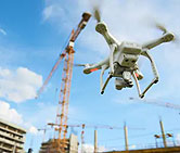
Using drone platforms with advanced sensors, we deliver high-quality visual imagery, data collection and data management solutions to a wide spectrum of clientele.
RPAS Services
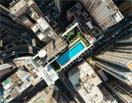
Digital Mapping, Surveying, Photography, Video, Construction Site Monitoring, Marine Studies, SAR Response. All with advanced Data Management Solutions.
Consultation
Drone Technology, Data Management, Machine Learning-AI, RPAS Program Set Up, Custom Operation Manuals.
Education
Drone Skills Development, Custom Courses, Online Training, Transport Canada Certification, Flight Reviews and Exams.
Services
Our development team and engineers are dedicated to changing the way businesses view the assets and resources they manage.
-
Consulting
Let's start with a guided conversation about trends and systems we work with.
-
Data Collection
We develop the most precise data because it's our passion.
-
Construction
Measuring and managing your construction site with our Drone Visual Tools.
-
Video
We focus on landscape, conservation and marine visual studies.
-
Training
Proud to partner with Canada's fully online courses, Clarion Drones.
-
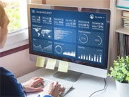
Analytics
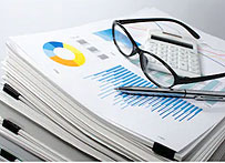
Estimates are quick and cost-effective thanks to our state-of-the-art analytics systems.
Who We Are
Servicing Industry With Robust Software
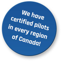
We develop the most precise data because it’s our passion! The core of our business is technology and how it relates to industry needs. Our development team and engineers are dedicated to changing the way businesses view the assets and resources they manage. With rich data, drone platforms and the most advanced technologies we can deliver accuracy for any commercial vertical. We have Pilots in every Province and Territories across Canada saving time and money for our clients.
